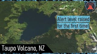
ERUPTION OF LAKE TAUPO SUPERVOLCANO - New Zealand |

|
|
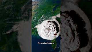
ORUANUI ERUPTION (Animation)
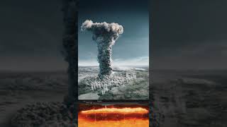
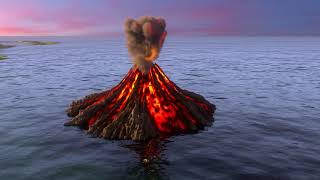
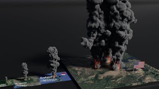
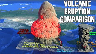
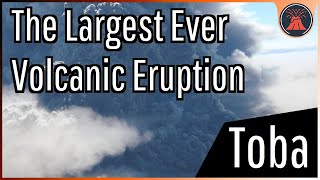
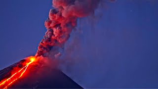
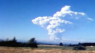
The Oruanui eruption of New Zealand's Taupo Volcano was the world's most recent supereruption. With a Volcanic Explosivity Index of 8, it is one of the largest eruptions ever to occur. It occurred at about 26,500 BCE in the Late Pleistocene and generated approximately 430 km3 of pyroclastic fall deposits, 320 km3 of pyroclastic density current (PDC) deposits (mostly ignimbrite) and 420 km3 of primary intracaldera material, equivalent to 530 km3 of magma, totaling 1,170 km3 of total deposits. The eruption is divided into 10 different phases on the basis of nine mappable fall units and a tenth, poorly preserved but volumetrically dominant fall unit. Modern-day Lake Taupo (616 km2, 186 m deep) partly fills the caldera generated during this eruption. A 140 km2 structural collapse is concealed beneath Lake Taupo, while the lake outline at least partly reflects volcano-tectonic collapse. Early eruption phases saw shifting vent positions; development of the caldera to its maximum extent (indicated by lithic lag breccias) occurred during phase 10. The Oruanui eruption shows many unusual features: its episodic nature, wide range of magma-water interaction, and complex interplay of pyroclastic fall and flow deposits. As the eruption occurred through a lake system overlying the vent, many of the deposits contain volcanic ash aggregates. Tephra from the Oruanui eruption, containing spherical accretionary lapilli Tephra from the eruption covered much of the central North Island, with ignimbrite up to 200 metres deep. Ashfall affected most of New Zealand, with an ash layer as thick as 18 centimetres deposited on the Chatham Islands, 1,000 km away. Later erosion and sedimentation had long-lasting effects on the landscape, and may have caused the Waikato River to shift from the Hauraki Plains to its current course through the Waikato to the Tasman Sea. Less than 22,500 years ago, Lake Taupo, having filled to about 75 m above its current level, cut through its Oruanui ignimbrite dam at a rate which left no terraces around the lake. About 60 km3 of water was released, leaving boulders of up to 10 m at least as far down the Waikato River as Mangakino. Credit to: Museum of New Zealand Te Papa Tongarewa |